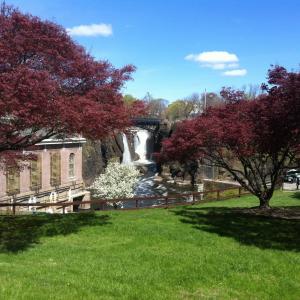
Grace Lord Park
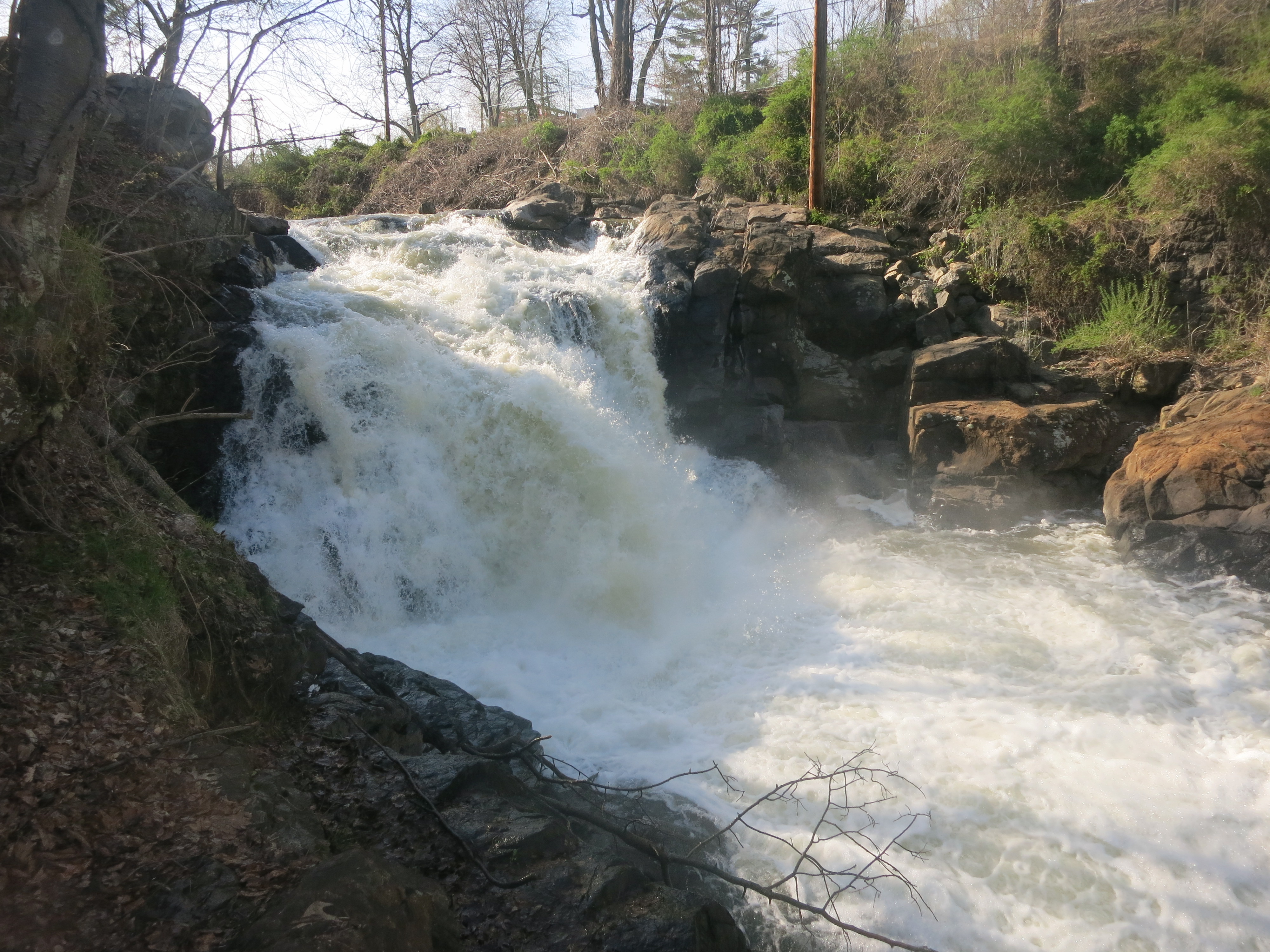
Located along the cascading Rockaway River, Grace Lord Park provides a variety of recreational activities, including hiking, birding, and fishing. The park also offers a fountain, playground, swings, and a landmark gazebo. Boonton Falls is perhaps its most unique attraction which, according to the town's web site, is rivaled only by the Great Falls of Paterson. As was the case with Paterson, the fall line generated water power and attracted industry.
The fall line has had an unfortunate consequence. Hurricane Irene in August 2011 caused severe erosion along the Rockaway River in Grace Lord Park. Engineering estimates to stabilize the slope were in the millions of dollar, requiring funds out of reach for the Town. Modest efforts were underway in early 2017 to shore up a segment of the eroded banks along the ravine, principally to protect residential structures.
The park is open to the public. From a trailhead near Essex Ave/West Main Street the Boonton Falls Trail of roughly one-half mile goes as far as the arch bridge and a view of the falls. Another trailhead is off Main Street, where parking is available. See Directions to Trailhead on this site.
A section of the Morris Canal, Plane 7E, touches the northwestern side of the park.
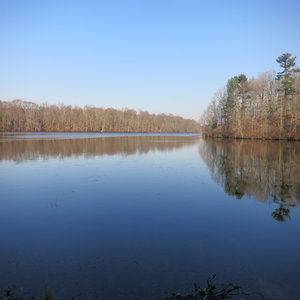
Additional hiking trails can be found in Tourne County Park, a short drive from Grace Lord Park.
Traveling south on I-287, take Exit 45 turn left onto Myrtle Street [Rt 202]. In roughly a mile, turn right onto Main Street, just as Rt 202 crosses I-287. In about 500 feet turn left onto Morris Avenue [the names change at this intersection; to the right of Main Street is “Division Street.”] In less than 0.3 mile on the right is a small gravel parking area -- be aware, no street sign marks its location. GPS Coordinates: 40.906869, -74.415022
Trailhead at Essex Avenue and West Main, GPS Coordinates: 40.907464, -74.419882. Park where safe and legal.


") The National Park Service offers Guided Introductory Tours seasonally -- it takes roughly one hour and covers one mile. See the Park's website link in Contact Information on this site for a schedule, follow the "Plan a Visit" tab.
The National Park Service offers Guided Introductory Tours seasonally -- it takes roughly one hour and covers one mile. See the Park's website link in Contact Information on this site for a schedule, follow the "Plan a Visit" tab.